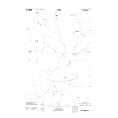
2013 Map of Mount Sterling
USGS Topo · Published 2013About this map
Mount Sterling serves as the central hub of this Crawford County landscape, where the ridge-top terrain dictates the path of travel and settlement. Located at a critical junction of local routes, the village is surrounded by agricultural activity, including the West Ridge Orchard to the east. The map illustrates a classic driftless area topography, defined by a complex network of high ground such as Gunderson Ridge, Lilly Ridge, and O'Neil Ridge, which separate the deep valleys formed by Upper Copper Cr and Halls Br.
Find a feature on this map
61 named features on this map. Tap any name to fly to it.
Don’t see what you’re looking for? This feature index may not catch every label — zoom into the map to look around manually.
Map Details
Editions of this 2013 Mount Sterling Map
This is the sole edition of this map. No revisions or reprints were ever made.
Other maps of this area

1903 · Waukon
USGS Topo · 1:125,000

1924 · Gays Mills
USGS Topo · 1:62,500

1926 · Gays Mills
USGS Topo · 1:62,500

1926 · Wauzeka
USGS Topo · 1:62,500

1929 · Ferryville
USGS Topo · 1:62,500

1929 · Prairie Du Chien
USGS Topo · 1:62,500

1932 · Ferryville
USGS Topo · 1:62,500

1932 · Prairie Du Chien
USGS Topo · 1:62,500

1958 · La Crosse
USGS Topo · 1:250,000

1961 · La Crosse
USGS Topo · 1:250,000