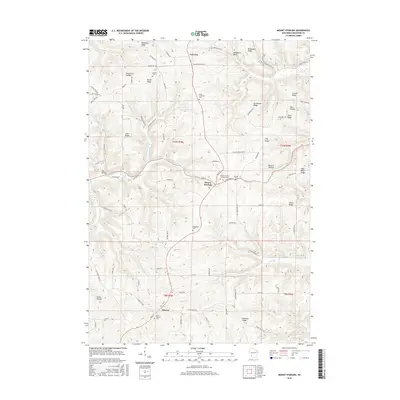
2016 Map of Mount Sterling
USGS Topo · Published 2016About this map
Mount Sterling and Seneca anchor this Crawford County landscape, where the ridge-and-hollow topography typical of the Driftless Area dictates the patterns of settlement and transport. Roads like Main St and ABC Ridge Rd trace the highest ground, following the spines of Mickelson Ridge, Helgerson Ridge, and Gunderson Ridge. This alignment leaves the deep incisions of Johnstown Valley and Torgerson Hollow as natural barriers between upland farming communities.
Find a feature on this map
94 named features on this map. Tap any name to fly to it.
Don’t see what you’re looking for? This feature index may not catch every label — zoom into the map to look around manually.
Map Details
Editions of this 2016 Mount Sterling Map
This is the sole edition of this map. No revisions or reprints were ever made.
Other maps of this area

1903 · Waukon
USGS Topo · 1:125,000

1924 · Gays Mills
USGS Topo · 1:62,500

1926 · Gays Mills
USGS Topo · 1:62,500

1926 · Wauzeka
USGS Topo · 1:62,500

1929 · Ferryville
USGS Topo · 1:62,500

1929 · Prairie Du Chien
USGS Topo · 1:62,500

1932 · Ferryville
USGS Topo · 1:62,500

1932 · Prairie Du Chien
USGS Topo · 1:62,500

1958 · La Crosse
USGS Topo · 1:250,000

1961 · La Crosse
USGS Topo · 1:250,000