2022 Map of Mount Sterling
USGS Topo · Published 2022About this map
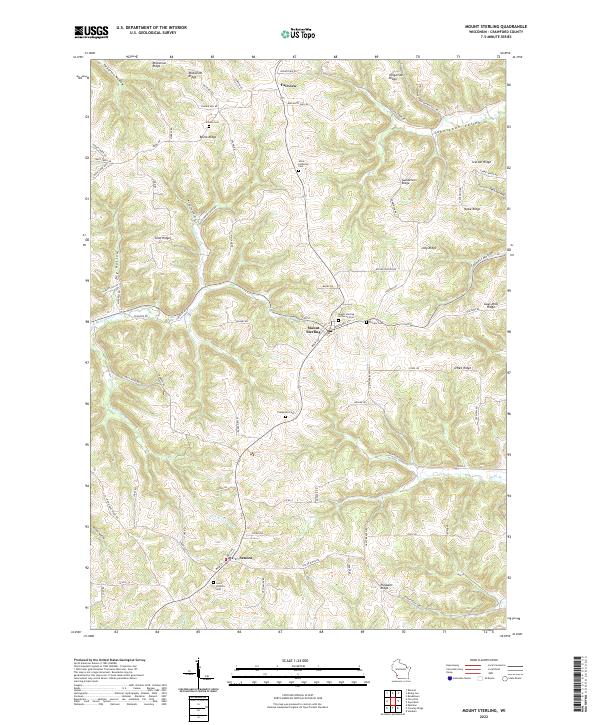
The village of Mount Sterling and the neighboring settlement of Seneca occupy a high, dissected plateau in Crawford County, defined by a complex network of narrow ridges and steep-walled hollows. The landscape is characterized by its agricultural orientation, with roads like ABC Ridge Rd and Prairie Hill Rd following the crests of topographic features such as Boma Ridge and Sime Ridge. This 2022 survey captures a rural environment where land use remains closely tied to the underlying geology, visible in the way farmsteads and cemeteries are situated along the primary ridgelines.
Find a feature on this map
95 named features on this map. Tap any name to fly to it.
Don’t see what you’re looking for? This feature index may not catch every label — zoom into the map to look around manually.
Map Details
Editions of this 2022 Mount Sterling Map
This is the sole edition of this map. No revisions or reprints were ever made.
Historical Maps of Mount Sterling Through Time
1 maps found