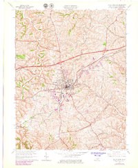
1965 Map of Mount Sterling
USGS Topo · Published 1979About this map
Mount Sterling serves as the central hub of this mid-century survey, revealing a landscape where established agriculture meets growing post-war infrastructure. The city is flanked by a network of family and community cemeteries, including Machpelah Cem and Magowan Cem, providing significant points of interest for genealogical research. The transportation network is dominated by the Chesapeake and Ohio railroad corridor, which parallels several major roads and supports nearby settlements like Ewington and Prewitt.
Find a feature on this map
32 named features on this map. Tap any name to fly to it.
Don’t see what you’re looking for? This feature index may not catch every label — zoom into the map to look around manually.
Map Details
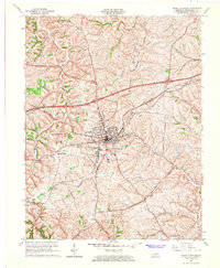
Editions of this 1965 Mount Sterling Map
2 editions found
Other maps of this area

1892 · Richmond
USGS Topo · 1:125,000

1892 · Beattyville
USGS Topo · 1:125,000

1897 · Richmond
USGS Topo · 1:125,000

1950 · Levee
USGS Topo · 1:24,000

1952 · Preston
USGS Topo · 1:24,000

1952 · Owingsville
USGS Topo · 1:24,000

1952 · Sharpsburg
USGS Topo · 1:24,000

1952 · Mount Sterling
USGS Topo · 1:24,000

1952 · North Middletown
USGS Topo · 1:24,000

1952 · Means
USGS Topo · 1:24,000