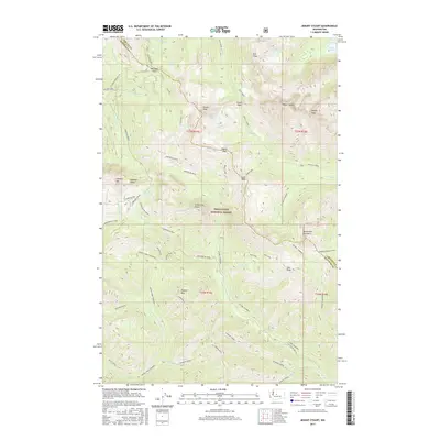
2017 Map of Mount Stuart
USGS Topo · Published 2017About this map
Mount Stuart dominates the center of this high-elevation landscape within the Wenatchee National Forest, where the complex drainage systems of the Middle Fork Teanaway River and N Fork Teanaway River originate. The map illustrates a dense network of mountain passes and alpine basins, including Van Epps Pass and the Esmerelda Basin, which served as critical transit points through the Wenatchee Mountains. Notable recreational and social landmarks are present, such as the Lake Camp Fire Girls near Ingalls Pass, reflecting the mid-twentieth-century development of organized youth camping in the high Cascades. The cartography reveals a transition from the granite spires of Sherpa Peak and Ingalls Peak to the deep river valleys like Jungle Creek and Beverly Creek. This 2017 data reflects the modern management of these lands, emphasizing hiking routes like the Beverly Turnpike and Johnson Medra over the industrial prospects of earlier eras.
Find a feature on this map
59 named features on this map. Tap any name to fly to it.
Don’t see what you’re looking for? This feature index may not catch every label — zoom into the map to look around manually.
Map Details
Editions of this 2017 Mount Stuart Map
This is the sole edition of this map. No revisions or reprints were ever made.
Other maps of this area
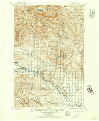
1897 · Mount Stuart
USGS Topo · 1:125,000
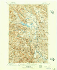
1901 · Chiwaukum
USGS Topo · 1:125,000
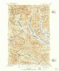
1901 · Snoqualmie Pass
USGS Topo · 1:125,000
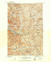
1902 · Skykomish
USGS Topo · 1:125,000
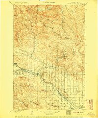
1902 · Mount Stuart
USGS Topo · 1:125,000
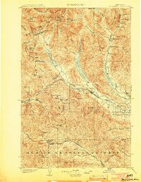
1903 · Snoqualmie
USGS Topo · 1:125,000
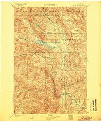
1904 · Chiwaukum
USGS Topo · 1:125,000
1905 · Skykomish
USGS Topo · 1:125,000
1957 · Wenatchee
USGS Topo · 1:250,000
1961 · Mount Stuart
USGS Topo · 1:62,500