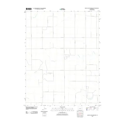
2010 Map of Mount Sunflower NW
USGS Topo · Published 2010About this map
North Fork Smoky Hill River and Sandy Creek define the drainage patterns across this high plains landscape in eastern Kit Carson County. The map reveals a strict agrarian grid system, where section lines are maintained by a network of local routes including County Road M and County Road J. While modern in its production date, the sheet illustrates the enduring character of the Colorado-Kansas borderlands, where water sources like Middle Beaver Creek dictated the placement of homesteads and the geometry of agricultural parcels. This 2010 survey by the U.S. Geological Survey captures the region's vast, open expanses just before the next decade of digital mapping transformed how these rural corridors are documented.
Find a feature on this map
22 named features on this map. Tap any name to fly to it.
Don’t see what you’re looking for? This feature index may not catch every label — zoom into the map to look around manually.
Map Details
Editions of this 2010 Mount Sunflower NW Map
This is the sole edition of this map. No revisions or reprints were ever made.
Other maps of this area

1954 · Limon
USGS Topo · 1:250,000

1957 · Limon
USGS Topo · 1:250,000

1958 · Limon
USGS Topo · 1:250,000

1969 · Mount Sunflower SW
USGS Topo · 1:24,000

1969 · Burlington 3 SE
USGS Topo · 1:24,000
1969 · Mount Sunflower
USGS Topo · 1:24,000

1969 · Burlington
USGS Topo · 1:24,000

1969 · Mount Sunflower NW
USGS Topo · 1:24,000
1969 · Mount Sunflower NE
USGS Topo · 1:24,000

1969 · Peconic
USGS Topo · 1:24,000