
1969 Map of Burlington
USGS Topo · Published 1972About this map
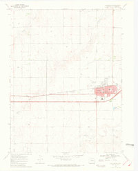
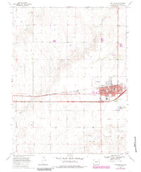
Burlington serves as a critical plains transport hub on the High Plains of eastern Colorado, defined by the parallel paths of the Chicago Rock Island and Pacific railroad and Interstate 70. This late-1960s survey documents the town's expansion with civic anchors like the High Sch and Hospital clustered near the intersection of Lincoln Ave and Rose Ave. The local agricultural and community character is evident in the presence of massive Storage Bins near the tracks and the Rodeo Ground adjacent to the Fairview Cem.
Find a feature on this map
30 named features on this map. Tap any name to fly to it.
Don’t see what you’re looking for? This feature index may not catch every label — zoom into the map to look around manually.
Map Details
Editions of this 1969 Burlington Map
3 editions found
Other maps of this area

1954 · Limon
USGS Topo · 1:250,000

1957 · Limon
USGS Topo · 1:250,000

1958 · Limon
USGS Topo · 1:250,000

1969 · Settlement
USGS Topo · 1:24,000

1969 · Bethune
USGS Topo · 1:24,000

1969 · Mount Sunflower NW
USGS Topo · 1:24,000

1969 · Peconic
USGS Topo · 1:24,000

1969 · Kanorado NW
USGS Topo · 1:24,000

1969 · Burlington 3 NW
USGS Topo · 1:24,000
1969 · Burlington NE
USGS Topo · 1:24,000