
1969 Map of Kanorado NW
USGS Topo · Published 1972About this map
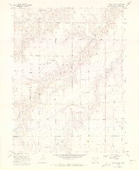
Little Beaver Creek and Bonny Creek carve distinct drainages through this High Plains landscape as it appeared in the late 1960s. Located along the Colorado-Kansas State Line, the area displays a sparse settlement pattern dominated by the agricultural and resource needs of the era. Numerous points marked simply as Well are scattered across the terrain, indicating the vital importance of groundwater management in Kit Carson County. The map provides a clear look at the section lines and rural road networks that structured life in this border region, showing the intersection of natural watercourses with the rigid geometry of the public land survey system. This survey captures a moment before modern intensive development, preserving the exact locations of rural infrastructure used by local ranching and farming families.
Find a feature on this map
4 named features on this map. Tap any name to fly to it.
Don’t see what you’re looking for? This feature index may not catch every label — zoom into the map to look around manually.
Map Details
Editions of this 1969 Kanorado NW Map
2 editions found
Other maps of this area

1950 · Bonny Reservoir
USGS Topo · 1:62,500

1954 · Limon
USGS Topo · 1:250,000

1957 · Limon
USGS Topo · 1:250,000

1958 · Limon
USGS Topo · 1:250,000

1969 · Kanorado NE
USGS Topo · 1:24,000

1969 · Burlington
USGS Topo · 1:24,000

1969 · Idalia SE
USGS Topo · 1:24,000

1969 · Peconic
USGS Topo · 1:24,000
1969 · Burlington NE
USGS Topo · 1:24,000
1969 · Kanorado
USGS Topo · 1:24,000