
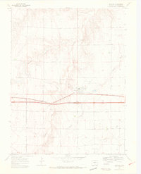
1969 Map of Bethune
USGS Topo · Published 1972About this map
Bethune serves as the central hub of this eastern Colorado landscape, situated along the Chicago Rock Island and Pacific railroad during the late 1960s. The map captures a high plains environment defined by its drainage systems, including the serpentine paths of Landsman Creek, Sevenmile Creek, and Bonny Creek. The presence of several Gravel Pits north of the township indicates the local importance of aggregate extraction for road and rail maintenance in this rural corridor.
Find a feature on this map
9 named features on this map. Tap any name to fly to it.
Don’t see what you’re looking for? This feature index may not catch every label — zoom into the map to look around manually.
Map Details
Editions of this 1969 Bethune Map
4 editions found
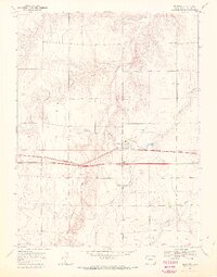
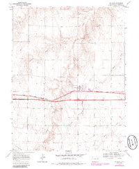
Other maps of this area

1954 · Limon
USGS Topo · 1:250,000

1957 · Limon
USGS Topo · 1:250,000

1958 · Limon
USGS Topo · 1:250,000

1969 · Alpine Ranch NE
USGS Topo · 1:24,000

1969 · Settlement
USGS Topo · 1:24,000

1969 · Tuttle
USGS Topo · 1:24,000

1969 · Burlington
USGS Topo · 1:24,000

1969 · Burlington 3 NW
USGS Topo · 1:24,000

1969 · Stratton
USGS Topo · 1:24,000
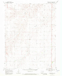
1969 · Burlington NE
USGS Topo · 1:24,000