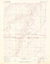
1969 Map of Bethune
USGS Topo · Published 1972About this map
Bethune serves as the central hub of this High Plains landscape, situated along the corridor of the Chicago Rock Island and Pacific railroad. The town's layout is clearly defined against the surrounding agricultural expanses, which are dissected by a series of intermittent drainage systems including Sevenmile Creek and Landsman Creek. This 1969 field-checked survey highlights the transition of the local economy and infrastructure, particularly where Interstate 70 runs parallel to the older rail line, reflecting the shift toward highway-based transport in Eastern Colorado. The terrain is marked by several Gravel Pits and various benchmarks like BM 4265, providing precise elevation data for the gently sloping prairie. To the south, Bonny Creek and Beaver Creek wind through the township, illustrating the natural watercourses that dictated early settlement patterns in Kit Carson County.
Find a feature on this map
13 named features on this map. Tap any name to fly to it.
Don’t see what you’re looking for? This feature index may not catch every label — zoom into the map to look around manually.
Map Details
Editions of this 1969 Bethune Map
4 editions found
Other maps of this area

1954 · Limon
USGS Topo · 1:250,000

1957 · Limon
USGS Topo · 1:250,000

1958 · Limon
USGS Topo · 1:250,000

1969 · Alpine Ranch NE
USGS Topo · 1:24,000

1969 · Settlement
USGS Topo · 1:24,000

1969 · Tuttle
USGS Topo · 1:24,000

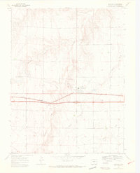
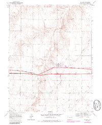
1969 · Bethune
USGS Topo · 1:24,000

1969 · Burlington
USGS Topo · 1:24,000

1969 · Burlington 3 NW
USGS Topo · 1:24,000

1969 · Stratton
USGS Topo · 1:24,000