
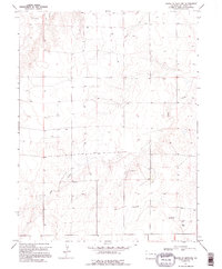
1969 Map of Stratton
USGS Topo · Published 1972About this map
Stratton sits at the heart of this Kit Carson County landscape, serving as a hub for both transportation and regional agriculture during the late 1960s. The town's layout is defined by the Chicago Rock Island and Pacific railroad line, which runs parallel to the modern corridor of Interstate 70. Local landmarks including the High Sch, a Golf Course, and the Municipal Airport reflect the established community infrastructure of the era. The presence of large Storage Bins near the tracks highlights the town's role in grain handling for the surrounding plains.
Find a feature on this map
19 named features on this map. Tap any name to fly to it.
Don’t see what you’re looking for? This feature index may not catch every label — zoom into the map to look around manually.
Map Details
Editions of this 1969 Stratton Map
This is the sole edition of this map. No revisions or reprints were ever made.
Other maps of this area

1954 · Limon
USGS Topo · 1:250,000

1957 · Limon
USGS Topo · 1:250,000

1958 · Limon
USGS Topo · 1:250,000

1969 · Alpine Ranch NE
USGS Topo · 1:24,000

1969 · Settlement
USGS Topo · 1:24,000

1969 · Tuttle
USGS Topo · 1:24,000

1969 · Bethune
USGS Topo · 1:24,000

1969 · Burlington 3 NW
USGS Topo · 1:24,000
1970 · South of Bethune
USGS Topo · 1:24,000

1979 · Vona
USGS Topo · 1:24,000