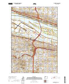
2020 Map of Mount Tabor
USGS Topo · Published 2020About this map
Rocky Butte and Kelly Butte anchor the eastern landscape of the Portland metropolitan area, where industrial corridors and residential neighborhoods meet the banks of the Columbia River. This map details the complex infrastructure of the city, from the extensive runways of Portland International Airport to the historic Sullivan Gulch and the essential City of Portland Reservoir Number 1. Along the river's north bank, Washington communities like Vancouver, McLoughlin, and Ellsworth are shown in proximity to Government Island. The map is particularly useful for local history, documenting several key educational institutions including Multnomah University and the University of Western States, alongside historic grounds such as Rose City Cem and Columbia Masonic Cem.
Find a feature on this map
70 named features on this map. Tap any name to fly to it.
Don’t see what you’re looking for? This feature index may not catch every label — zoom into the map to look around manually.
Map Details
Editions of this 2020 Mount Tabor Map
This is the sole edition of this map. No revisions or reprints were ever made.
Other maps of this area

1897 · Portland
USGS Topo · 1:62,500

1905 · Portland
USGS Topo · 1:62,500

1911 · Boring
USGS Topo · 1:48,000

1914 · Boring
USGS Topo · 1:62,500

1914 · Oregon City
USGS Topo · 1:62,500

1916 · Estacada
USGS Topo · 1:125,000

1918 · Troutdale
USGS Topo · 1:62,500

1934 · Troutdale
USGS Topo · 1:48,000

1939 · Oregon City
USGS Topo · 1:62,500

1940 · Boring
USGS Topo · 1:62,500