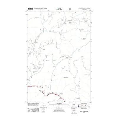
2011 Map of Mount Thompson
USGS Topo · Published 2011About this map
Washington Mines and the Bluebird Mine dominate the northern terrain of this Montana landscape, where the heavy imprint of mineral exploration defines the local geography. The area around Comet is particularly dense with historic extraction sites, including the Grey Eagle Mine, Silver King Mine, and Stair Mine, alongside the Comet Tailings. These names reflect a period of intense prospecting across the peaks of Mount Thompson and Sugarloaf Mountain.
Find a feature on this map
99 named features on this map. Tap any name to fly to it.
Don’t see what you’re looking for? This feature index may not catch every label — zoom into the map to look around manually.
Map Details
Editions of this 2011 Mount Thompson Map
This is the sole edition of this map. No revisions or reprints were ever made.
Other maps of this area

1889 · Helena
USGS Topo · 1:250,000

1893 · Helena
USGS Topo · 1:250,000

1899 · Boulder
USGS Topo · 1:125,000

1899 · Helena
USGS Topo · 1:250,000

1903 · Helena
USGS Topo · 1:250,000

1947 · Butte
USGS Topo · 1:250,000

1950 · Jefferson City
USGS Topo · 1:62,500

1954 · Elk Park
USGS Topo · 1:62,500

1954 · Basin
USGS Topo · 1:62,500

1954 · Boulder
USGS Topo · 1:62,500