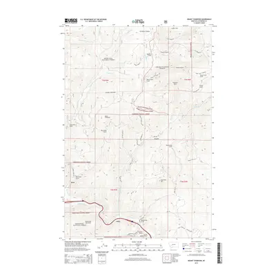
2014 Map of Mount Thompson
USGS Topo · Published 2014About this map
Deerlodge National Forest and Helena National Forest converge in this high-elevation landscape, where the legacy of mountain mining is etched into the terrain. The settlement of Comet sits at the head of High Ore Creek, connected by a network of specialized routes like Mining Claim Acc and Sunshine Mine Driveway Dr. This 2014 survey documents a region defined by steep drainages including Uncle Sam Gulch, Big Limber Gulch, and Boomerang Gulch, all feeding toward the Boulder River and Basin in the south. The complex geography of the Occidental Plateau and Mount Thompson shows how resource extraction dictated the placement of historic roads like the High Ore Rd and Comet to Wood Chute Rd. Local transit remains centered on the river corridor near Fuller, where the Boulder River parallels the valley floor.
Find a feature on this map
54 named features on this map. Tap any name to fly to it.
Don’t see what you’re looking for? This feature index may not catch every label — zoom into the map to look around manually.
Map Details
Editions of this 2014 Mount Thompson Map
This is the sole edition of this map. No revisions or reprints were ever made.
Other maps of this area
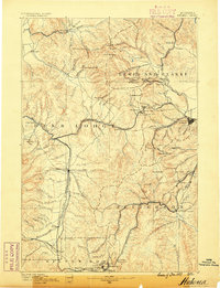
1889 · Helena
USGS Topo · 1:250,000
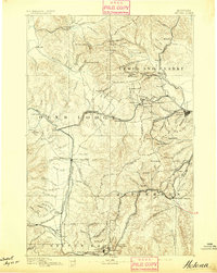
1893 · Helena
USGS Topo · 1:250,000
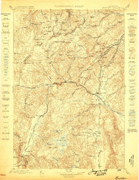
1899 · Boulder
USGS Topo · 1:125,000
1899 · Helena
USGS Topo · 1:250,000
1903 · Helena
USGS Topo · 1:250,000

1947 · Butte
USGS Topo · 1:250,000
1950 · Jefferson City
USGS Topo · 1:62,500
1954 · Elk Park
USGS Topo · 1:62,500
1954 · Basin
USGS Topo · 1:62,500
1954 · Boulder
USGS Topo · 1:62,500