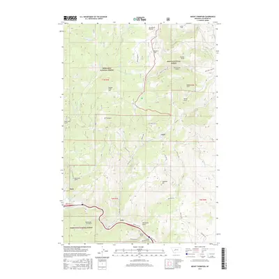
2017 Map of Mount Thompson
USGS Topo · Published 2017About this map
The Boulder River flows through the southern portion of this region, where the settlements of Basin and Fuller are situated along the river's path and the Frontage Rd / Basin 15. This area is defined by its deep integration with the Deerlodge National Forest and Helena National Forest, illustrating a landscape shaped by both conservation and mountain resource extraction. Numerous gulches, such as Galena Gulch and Boomerang Gulch, descend from the heights of Mt Thompson and Sugarloaf Mtn, hinting at the mineral-driven history of Jefferson County. The presence of Comet and local routes like Silver Bell Rd and Cattle Drive Rd suggest a legacy of mining and ranching that persists in the geographic nomenclature of the Occidental Plateau.
Find a feature on this map
45 named features on this map. Tap any name to fly to it.
Don’t see what you’re looking for? This feature index may not catch every label — zoom into the map to look around manually.
Map Details
Editions of this 2017 Mount Thompson Map
This is the sole edition of this map. No revisions or reprints were ever made.
Other maps of this area
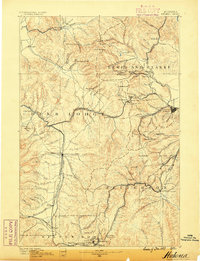
1889 · Helena
USGS Topo · 1:250,000
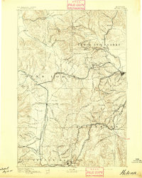
1893 · Helena
USGS Topo · 1:250,000
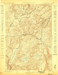
1899 · Boulder
USGS Topo · 1:125,000
1899 · Helena
USGS Topo · 1:250,000
1903 · Helena
USGS Topo · 1:250,000

1947 · Butte
USGS Topo · 1:250,000
1950 · Jefferson City
USGS Topo · 1:62,500
1954 · Elk Park
USGS Topo · 1:62,500
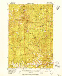
1954 · Basin
USGS Topo · 1:62,500
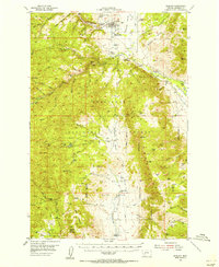
1954 · Boulder
USGS Topo · 1:62,500