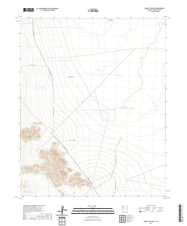
2021 Map of Mount Tipton SE
USGS Topo · Published 2021About this map
The Cerbat Mountains rise sharply in the southwestern corner of this map, their drainage forming Tipton Canyon before giving way to the broad alluvial plains of the Mojave Desert. This landscape is defined by its arid geography, where ephemeral watercourses like Truxton Wash, Cane Spring Wash, and Twentysix Wash trace paths toward the Hualapai Valley and the dry basin of Red Lake. Human presence is marked by a network of utilitarian desert roads and ranching infrastructure. Stockton Hill Rd serves as a primary north-south artery, intersecting with Cane Springs Rd and Gopher Flats Ranch Rd. Small-scale water management is evident at Canyon Tank and White Tank, essential landmarks for those navigating the arid flats between the mountains and the valley.
Find a feature on this map
19 named features on this map. Tap any name to fly to it.
Don’t see what you’re looking for? This feature index may not catch every label — zoom into the map to look around manually.
Map Details
Editions of this 2021 Mount Tipton SE Map
This is the sole edition of this map. No revisions or reprints were ever made.
Other maps of this area

1886 · Diamond Creek
USGS Topo · 1:250,000

1886 · Camp Mohave
USGS Topo · 1:250,000

1892 · Diamond Creek
USGS Topo · 1:250,000

1892 · Camp Mohave
USGS Topo · 1:250,000

1939 · Chloride
USGS Topo · 1:48,000

1942 · Camp Mohave
USGS Topo · 1:250,000

1944 · Chloride
USGS Topo · 1:62,500

1947 · Kingman
USGS Topo · 1:250,000

1948 · Kingman
USGS Topo · 1:250,000

1948 · Williams
USGS Topo · 1:250,000