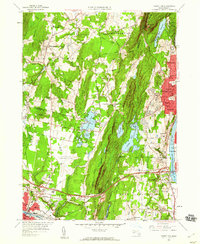
1958 Map of Mount Tom
USGS Topo · Published 1960About this map
The ridge of East Mountain and the Mount Tom State Reservation dominate this landscape, standing between the growing industrial centers of Westfield and Holyoke. In the late 1950s, this area reflects the mid-century intersection of traditional industry and new infrastructure, anchored by the Massachusetts Turnpike cutting through the southern landscape near the New York Central rail lines. Local culture of the era is captured by landmarks like the Drive-in Theater near Pequot Pond and the expansive Barnes Municipal Airport. To the east, the Connecticut River borders urban neighborhoods such as Oakdale and Elmwood, while the western slopes toward Southampton remain more rural, dotted with sites like the Center Cem and Jr High Sch. The map reveals the heavy industrial footprint of the valley through labels for Paper Mills and various Sand and Gravel operations near the Little River.
Find a feature on this map
80 named features on this map. Tap any name to fly to it.
Don’t see what you’re looking for? This feature index may not catch every label — zoom into the map to look around manually.
Map Details
Editions of this 1958 Mount Tom Map
2 editions found
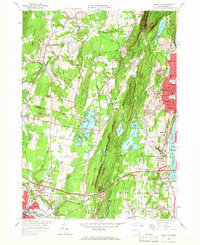
Other maps of this area

1885 · Northampton
USGS Topo · 1:62,500

1886 · Springfield
USGS Topo · 1:62,500

1886 · Chesterfield
USGS Topo · 1:62,500

1886 · Northampton
USGS Topo · 1:62,500

1887 · Granville
USGS Topo · 1:62,500

1888 · Chesterfield
USGS Topo · 1:62,500

1889 · Springfield
USGS Topo · 1:62,500

1889 · Granville
USGS Topo · 1:62,500

1891 · Northampton
USGS Topo · 1:62,500

1893 · Northampton
USGS Topo · 1:62,500