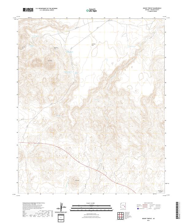
2021 Map of Mount Triplet
USGS Topo · Published 2021About this map
Mt Triplet and Salt Mtn rise above a landscape defined by seasonal water drainage and cattle-ranching infrastructure in Graham County. The topography is marked by significant elevation changes, from the high peaks down to the broad Antelope Flats. A network of unpaved tracks, including Triplets Rd and Co Rd 8, connects various water sources essential for livestock and wildlife in this arid environment. Natural water features like Hackberry Spring, Willow Spring, and Salt Spring are supplemented by man-made catchments such as Hackberry Tank Number One and Triplets Tank. This network of tanks and draws, including Hackberry Draw and Coyote Wash, reveals the critical role of water management in navigating and utilizing this high-desert terrain.
Find a feature on this map
24 named features on this map. Tap any name to fly to it.
Don’t see what you’re looking for? This feature index may not catch every label — zoom into the map to look around manually.
Map Details
Editions of this 2021 Mount Triplet Map
This is the sole edition of this map. No revisions or reprints were ever made.
Other maps of this area

1954 · Mesa
USGS Topo · 1:250,000

1957 · Mesa
USGS Topo · 1:250,000

1958 · Mesa
USGS Topo · 1:250,000

1960 · Mesa
USGS Topo · 1:250,000

1960 · Bylas
USGS Topo · 1:62,500

1962 · San Carlos Reservoir
USGS Topo · 1:62,500

1964 · Mesa
USGS Topo · 1:250,000

1965 · Sontag Mesa
USGS Topo · 1:24,000

1966 · Branaman Spring
USGS Topo · 1:24,000

1966 · Natural Corral
USGS Topo · 1:24,000