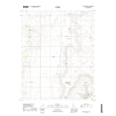
2018 Map of Mount Trumbull SE
USGS Topo · Published 2018About this map
Toroweap Valley dominates this high-plateau landscape, carved between the eastern slopes of the Uinkaret Mountains and the edge of the Kanab Plateau. This 2018 survey reveals the dramatic topography of the Grand Canyon National Park boundary, where the elevation drops sharply from Toroweap Point and the Toroweap Cliffs into the river system's complex drainage network. The map details a series of rugged geological features, including the deep cuts of Paradise Canyon and Cunninghams Canyon to the north, and Cove Canyon near the southern park boundary. This remote section of Mohave County is accessed primarily by unpaved corridors like Co HWY 115 and Co RD 5, which navigate the high basins and provide a modern reference for the region's cattle-ranching and conservation history.
Find a feature on this map
21 named features on this map. Tap any name to fly to it.
Don’t see what you’re looking for? This feature index may not catch every label — zoom into the map to look around manually.
Map Details
Editions of this 2018 Mount Trumbull SE Map
This is the sole edition of this map. No revisions or reprints were ever made.
Other maps of this area
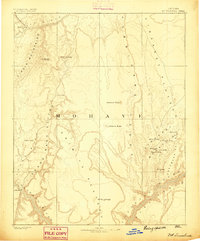
1886 · Mt. Trumbull
USGS Topo · 1:250,000
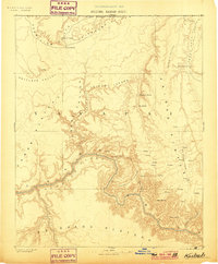
1886 · Kaibab
USGS Topo · 1:250,000
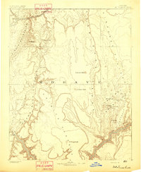
1892 · Mt. Trumbull
USGS Topo · 1:250,000

1953 · Grand Canyon
USGS Topo · 1:250,000

1957 · Grand Canyon
USGS Topo · 1:250,000

1958 · Grand Canyon
USGS Topo · 1:250,000
1960 · Grand Canyon
USGS Topo · 1:250,000
1962 · Tuckup Canyon
USGS Topo · 1:62,500
1962 · National Canyon
USGS Topo · 1:62,500
1967 · Mt. Trumbull NE
USGS Topo · 1:24,000