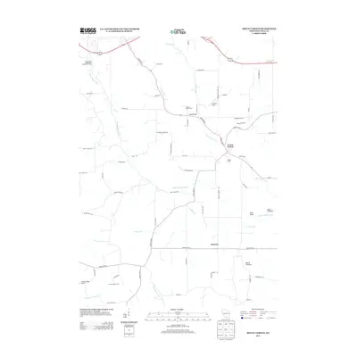
2013 Map of Mount Vernon
USGS Topo · Published 2013About this map
Mount Vernon sits as a central focal point in this southern Dane County landscape, where the waters of Mount Vernon Creek meet the winding West Branch Sugar River. The area is defined by a dense network of agricultural land and family-named landmarks, reflecting a deep-rooted rural character. Notable features include Sutter's Ridge Farm, Liberty Farm, and the distinct geological marker of Donald Rock near State Road 92.
Find a feature on this map
68 named features on this map. Tap any name to fly to it.
Don’t see what you’re looking for? This feature index may not catch every label — zoom into the map to look around manually.
Map Details
Editions of this 2013 Mount Vernon Map
This is the sole edition of this map. No revisions or reprints were ever made.
Other maps of this area

1907 · Cross Plains
USGS Topo · 1:62,500

1909 · Cross Plains
USGS Topo · 1:62,500

1920 · Blue Mounds
USGS Topo · 1:62,500

1922 · Blue Mounds
USGS Topo · 1:62,500

1923 · Blanchardville
USGS Topo · 1:62,500

1923 · New Glarus
USGS Topo · 1:62,500

1954 · Rockford
USGS Topo · 1:250,000

1955 · Rockford
USGS Topo · 1:250,000

1957 · Madison
USGS Topo · 1:250,000

1958 · Rockford
USGS Topo · 1:250,000