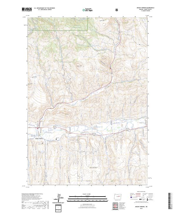
2023 Map of Mount Vernon
USGS Topo · Published 2023About this map
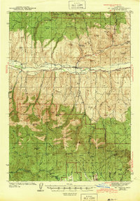
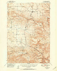
The John Day River valley centers this Grant County landscape, where the settlement of Mount Vernon sits at the junction of valley-bottom roads and rugged southern slopes. The terrain is defined by a sophisticated network of historical water management, including the Panama Ditch, Enterprise Ditch, Luce Ditch, and Laycock Long Ditch, which redirect water across the flats for local use. To the north and south, the elevation climbs toward the Malheur National Forest and the Aldrich Mountains, punctuated by landmarks like Gordon Butte and White Butte. Local history and genealogy are anchored by the Ingle Cem and Fletcher Cem near the town center. The presence of the Mount Vernon Hot Springs and a Log Pond at Hines indicates the area's historical reliance on both natural thermal features and the timber industry infrastructure near the riverbanks.
Find a feature on this map
71 named features on this map. Tap any name to fly to it.
Don’t see what you’re looking for? This feature index may not catch every label — zoom into the map to look around manually.
Map Details
Editions of this 2023 Mount Vernon Map
This is the sole edition of this map. No revisions or reprints were ever made.
Other maps of this area
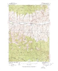
1940 · Mount Vernon
USGS Topo · 1:62,500
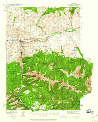
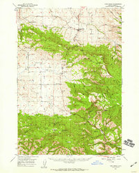
1940 · John Day
USGS Topo · 1:62,500
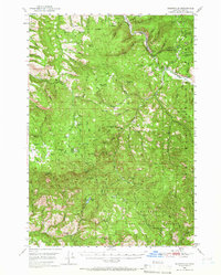
1943 · John Day
USGS Topo · 1:62,500
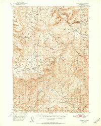
1943 · Mount Vernon
USGS Topo · 1:62,500
1949 · Long Creek
USGS Topo · 1:62,500
1949 · Susanville
USGS Topo · 1:62,500
1951 · Susanville
USGS Topo · 1:62,500
1951 · Long Creek
USGS Topo · 1:62,500

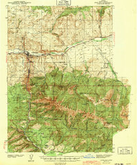
1955 · Canyon City
USGS Topo · 1:250,000

1959 · Canyon City
USGS Topo · 1:250,000