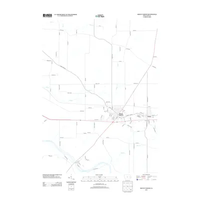
2013 Map of Mount Vernon
USGS Topo · Published 2013About this map
Mount Vernon and its neighboring community of Lisbon serve as the primary population centers on this landscape, defined by a complex network of named creeks and rolling topography. The northern reaches are drained by Big Cr and Elbow Cr, while the central area is intersected by Abbe Cr, which winds past Abbe Hills Rd. These waterways eventually give way to the Cedar River in the south, where the settlement of Ivanhoe sits near the water's edge. This southern area is particularly notable for researchers interested in local genealogy, featuring Ivanhoe Cemetery Rd near the river bend. The map also captures smaller communities like Saint Mary, connected by a web of rural routes such as Linn Ridge Rd and Smyth Rd that trace the historical development of Linn County beyond the main town centers.
Find a feature on this map
88 named features on this map. Tap any name to fly to it.
Don’t see what you’re looking for? This feature index may not catch every label — zoom into the map to look around manually.
Map Details
Editions of this 2013 Mount Vernon Map
This is the sole edition of this map. No revisions or reprints were ever made.
Other maps of this area
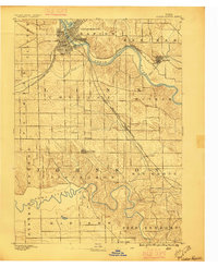
1887 · Cedar Rapids
USGS Topo · 1:62,500
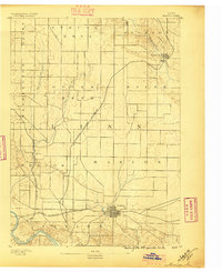
1888 · Marion
USGS Topo · 1:62,500
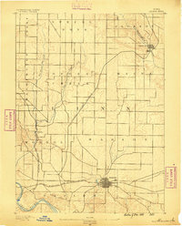
1889 · Marion
USGS Topo · 1:62,500
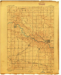
1890 · Anamosa
USGS Topo · 1:62,500
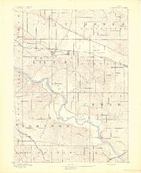
1891 · Mechanicsville
USGS Topo · 1:62,500
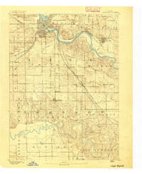
1891 · Cedar Rapids
USGS Topo · 1:62,500
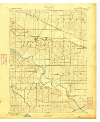
1894 · Mechanicsville
USGS Topo · 1:62,500
1900 · Anamosa
USGS Topo · 1:125,000
1901 · Stanwood
USGS Topo · 1:125,000
1903 · Fairfax
USGS Topo · 1:125,000