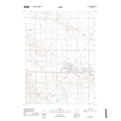
2018 Map of Mount Vernon
USGS Topo · Published 2018About this map
The Cedar River sweeps through the southwest corner of this Eastern Iowa landscape, defining the topography south of the interconnected communities of Mount Vernon and Lisbon. This late 2010s survey details a region where historic burial grounds are remarkably dense, preserving local family names and settlement history at sites like Ivanhoe Cem, Craig Cem, and Mount Zion Cem. The terrain is drained by a network of waterways including Abbe Cr, Elbow Cr, and Spring Cr, which carve through the agricultural uplands surrounding the towns.
Find a feature on this map
107 named features on this map. Tap any name to fly to it.
Don’t see what you’re looking for? This feature index may not catch every label — zoom into the map to look around manually.
Map Details
Editions of this 2018 Mount Vernon Map
This is the sole edition of this map. No revisions or reprints were ever made.
Other maps of this area

1887 · Cedar Rapids
USGS Topo · 1:62,500

1888 · Marion
USGS Topo · 1:62,500

1889 · Marion
USGS Topo · 1:62,500

1890 · Anamosa
USGS Topo · 1:62,500

1891 · Mechanicsville
USGS Topo · 1:62,500

1891 · Cedar Rapids
USGS Topo · 1:62,500

1894 · Mechanicsville
USGS Topo · 1:62,500

1900 · Anamosa
USGS Topo · 1:125,000

1901 · Stanwood
USGS Topo · 1:125,000

1903 · Fairfax
USGS Topo · 1:125,000