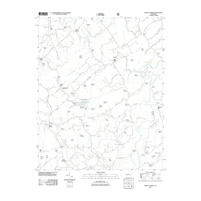
2011 Map of Mount Vernon
USGS Topo · Published 2011About this map
The Tellico River winds through this landscape in Monroe County, serving as a focal point for several small communities and historic mill sites. The settlement of Tellico Plains anchors the southern portion of the map, featuring the Tellico Plains Airstrip, while further north, the Mount Vernon Post Office marks the hub of the Mount Vernon community. The area's agrarian and industrial history is evident through features like Stakely Mill and Belltown Mill, which utilized the local waterways.
Find a feature on this map
141 named features on this map. Tap any name to fly to it.
Don’t see what you’re looking for? This feature index may not catch every label — zoom into the map to look around manually.
Map Details
Editions of this 2011 Mount Vernon Map
This is the sole edition of this map. No revisions or reprints were ever made.
Other maps of this area

1893 · Murphy
USGS Topo · 1:125,000

1895 · Loudon
USGS Topo · 1:125,000

1914 · Murphy
USGS Topo · 1:125,000

1933 · Haw Knob
USGS Topo · 1:48,000

1933 · Bald River Falls
USGS Topo · 1:24,000

1933 · Rafter
USGS Topo · 1:24,000

1934 · Mount Vernon
USGS Topo · 1:24,000

1934 · Mecca
USGS Topo · 1:24,000

1934 · Englewood
USGS Topo · 1:24,000

1934 · Tellico Plains
USGS Topo · 1:24,000