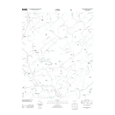
2013 Map of Mount Vernon
USGS Topo · Published 2013About this map
Tellico Plains serves as a primary hub in this eastern Tennessee landscape, where the Tellico River meets a network of valley roads and ridges. The 2013 topography reveals a deeply ingrained pattern of small-scale industry and community life, anchored by several historic milling sites including Belltown Mill, Stakely Mill, and Ellis Mill. These features, along with settlements like Mount Vernon and Bethlehem, reflect a heritage of dispersed rural habitation centered around water power and agricultural valleys.
Find a feature on this map
185 named features on this map. Tap any name to fly to it.
Don’t see what you’re looking for? This feature index may not catch every label — zoom into the map to look around manually.
Map Details
Editions of this 2013 Mount Vernon Map
This is the sole edition of this map. No revisions or reprints were ever made.
Other maps of this area

1893 · Murphy
USGS Topo · 1:125,000

1895 · Loudon
USGS Topo · 1:125,000

1914 · Murphy
USGS Topo · 1:125,000

1933 · Haw Knob
USGS Topo · 1:48,000

1933 · Bald River Falls
USGS Topo · 1:24,000

1933 · Rafter
USGS Topo · 1:24,000

1934 · Mount Vernon
USGS Topo · 1:24,000

1934 · Mecca
USGS Topo · 1:24,000

1934 · Englewood
USGS Topo · 1:24,000

1934 · Tellico Plains
USGS Topo · 1:24,000