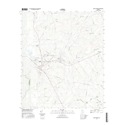
2017 Map of Mount Vernon
USGS Topo · Published 2017About this map
The town of Mount Vernon serves as a focal point in this southern Georgia landscape, defined by its position near the winding Oconee River and the neighboring community of Ailey. The map highlights the local significance of higher education at Brewton-Parker Coll, which is situated between these two settlements. The surrounding terrain is a network of small watercourses, including Bear Cr, Flat Cr, and Limestone Cr, which carve through the rural countryside.
Find a feature on this map
93 named features on this map. Tap any name to fly to it.
Don’t see what you’re looking for? This feature index may not catch every label — zoom into the map to look around manually.
Map Details
Editions of this 2017 Mount Vernon Map
This is the sole edition of this map. No revisions or reprints were ever made.
Other maps of this area

1957 · Macon
USGS Topo · 1:250,000

1958 · Macon
USGS Topo · 1:250,000

1964 · Macon
USGS Topo · 1:250,000

1970 · Glenwood
USGS Topo · 1:24,000

1970 · Alston
USGS Topo · 1:24,000

1970 · Oak Park SW
USGS Topo · 1:24,000

1970 · Mount Vernon
USGS Topo · 1:24,000

1970 · Vidalia
USGS Topo · 1:24,000

1970 · Uvalda
USGS Topo · 1:24,000

1970 · Jordan
USGS Topo · 1:24,000