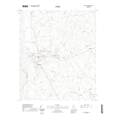
2020 Map of Mount Vernon
USGS Topo · Published 2020About this map
The Montgomery County Courthouse stands as the civic heart of Mount Vernon, situated just south of the Brewton-Parker College campus. This Georgia landscape is defined by its transition from the town grid to the surrounding timber and agricultural lands, where family histories are preserved in numerous small burial grounds like McCloud Cem, Nab Cem, and Peterson Cem. The terrain is marked by significant hydrological features including the Oconee River which snakes along the western boundary and the prominent Buckeye Ridge to the south.
Find a feature on this map
101 named features on this map. Tap any name to fly to it.
Don’t see what you’re looking for? This feature index may not catch every label — zoom into the map to look around manually.
Map Details
Editions of this 2020 Mount Vernon Map
This is the sole edition of this map. No revisions or reprints were ever made.
Other maps of this area

1957 · Macon
USGS Topo · 1:250,000

1958 · Macon
USGS Topo · 1:250,000

1964 · Macon
USGS Topo · 1:250,000

1970 · Glenwood
USGS Topo · 1:24,000

1970 · Alston
USGS Topo · 1:24,000

1970 · Oak Park SW
USGS Topo · 1:24,000

1970 · Mount Vernon
USGS Topo · 1:24,000

1970 · Vidalia
USGS Topo · 1:24,000

1970 · Uvalda
USGS Topo · 1:24,000

1970 · Jordan
USGS Topo · 1:24,000