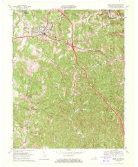
1970 Map of Mount Vernon
USGS Topo · Published 1972About this map
Mount Vernon serves as the central hub of this Rockcastle County landscape, where the Louisville and Nashville railroad winds through the valleys. The 1970 revision shows a community defined by its civic and educational landmarks, including Elmwood Cem, Starks Vocational Sch, and the Maple Grove Ch. To the north, the waters of Lake Linville provide a prominent geographical anchor, while the surrounding terrain is deeply etched with family-named hollows like Boone Hollow and Price Hollow.
Find a feature on this map
34 named features on this map. Tap any name to fly to it.
Don’t see what you’re looking for? This feature index may not catch every label — zoom into the map to look around manually.
Map Details
Editions of this 1970 Mount Vernon Map
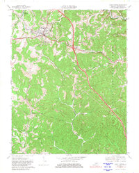
2 editions found
Other maps of this area

1893 · London
USGS Topo · 1:125,000

1897 · London
USGS Topo · 1:125,000

1952 · Billows
USGS Topo · 1:24,000

1952 · Shopville
USGS Topo · 1:24,000

1952 · Bernstadt
USGS Topo · 1:24,000

1953 · Johnetta
USGS Topo · 1:24,000

1953 · Maretburg
USGS Topo · 1:24,000

1953 · Wildie
USGS Topo · 1:24,000

1953 · Livingston
USGS Topo · 1:24,000
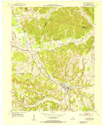
1953 · Brodhead
USGS Topo · 1:24,000