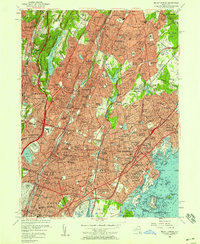
1956 Map of Mount Vernon
USGS Topo · Published 1958About this map
The dense suburbanization of Lower Westchester and the Northern Bronx is meticulously documented in this mid-century survey. Major arterial roads such as the New York State Thruway and Cross County Parkway serve as the framework for expanding residential neighborhoods like Sunny Brae, Heathcote, and Arthur Manor. Industrial and recreational hubs are prominent, from the Yonkers Raceway and Dunwoodie Golf Course in the west to the coastal activity of Echo Bay and New Rochelle Harbor in the east.
Find a feature on this map
219 named features on this map. Tap any name to fly to it.
Don’t see what you’re looking for? This feature index may not catch every label — zoom into the map to look around manually.
Map Details
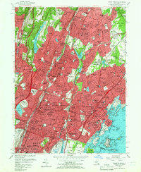
Editions of this 1956 Mount Vernon Map
2 editions found
Other maps of this area

1891 · Harlem
USGS Topo · 1:62,500

1892 · Stamford
USGS Topo · 1:62,500

1892 · Tarrytown
USGS Topo · 1:62,500

1893 · Stamford
USGS Topo · 1:62,500

1893 · Tarrytown
USGS Topo · 1:62,500

1897 · Harlem
USGS Topo · 1:62,500

1897 · Oyster Bay
USGS Topo · 1:62,500

1898 · Harlem
USGS Topo · 1:62,500

1898 · Oyster Bay
USGS Topo · 1:62,500

1899 · Stamford
USGS Topo · 1:62,500