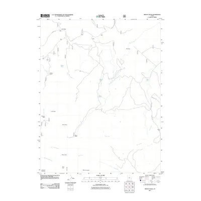
2011 Map of Mount Waas
USGS Topo · Published 2011About this map
Mount Waas and the high summits of the La Sal Mountains dominate this 2011 survey, where the alpine terrain gives way to a network of drainage systems and isolated lakes. This area is defined by its dramatic elevation changes, moving from the peaks of La Sal Peak and Manns Peak down into glacial cirques like Bachelor Basin and Beaver Basin. The drainage patterns are clearly delineated, showing how Beaver Creek and Taylor Creek carve through the landscape toward the eastern flats.
Find a feature on this map
30 named features on this map. Tap any name to fly to it.
Don’t see what you’re looking for? This feature index may not catch every label — zoom into the map to look around manually.
Map Details
Editions of this 2011 Mount Waas Map
This is the sole edition of this map. No revisions or reprints were ever made.
Other maps of this area
1885 · La Sal
USGS Topo · 1:250,000
1954 · Mt Peale 1 NE
USGS Topo · 1:24,000
1954 · Mt. Waas 4 SE
USGS Topo · 1:24,000
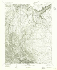
1954 · Mt. Waas 4 SW
USGS Topo · 1:24,000
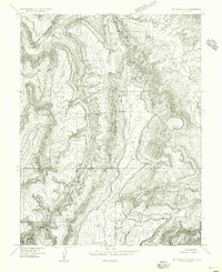
1954 · Mt. Waas 4 NE
USGS Topo · 1:24,000
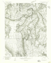
1954 · Mt. Waas 4 NW
USGS Topo · 1:24,000
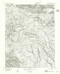
1954 · Mt Peale 1 NW
USGS Topo · 1:24,000
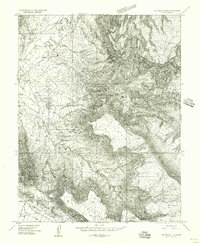
1954 · Mt. Waas 3 NE
USGS Topo · 1:24,000
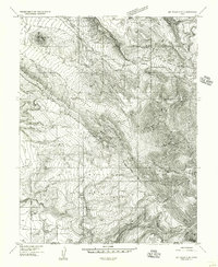
1954 · Mt. Waas 3 SE
USGS Topo · 1:24,000
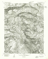
1954 · Mt Peale 2 NE
USGS Topo · 1:24,000