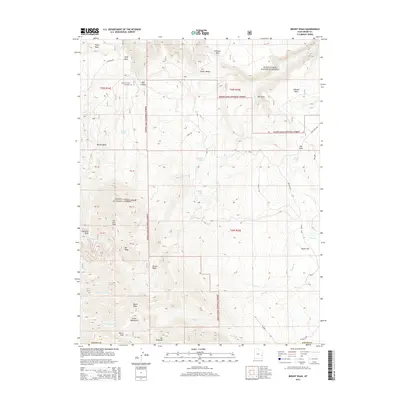
2014 Map of Mount Waas
USGS Topo · Published 2014About this map
The high peaks of the La Sal Mountains dominate this 2014 survey of Grand County, where alpine summits and deep canyons meet. Notable landmarks include the Mt Waas summit and the Andy Swenson Gravesite, located near Bull Canyon. The landscape is a network of elevated mesas and drainage systems, with Fisher Mesa and Andy Mesa overlooking the significant depression of Fisher Valley. Much of the territory falls within the Manti-LaSal National Forest, showing a preserved wilderness where high-altitude water sources like Hidden Lake and Dons Lake feed numerous creeks including Beaver Cr and Taylor Cr. This map traces the complex topography around Burro Pass and provides a record of the remote high-country trails and forest roads such as Gateway Rd and Tuckers.
Find a feature on this map
40 named features on this map. Tap any name to fly to it.
Don’t see what you’re looking for? This feature index may not catch every label — zoom into the map to look around manually.
Map Details
Editions of this 2014 Mount Waas Map
This is the sole edition of this map. No revisions or reprints were ever made.
Other maps of this area
1885 · La Sal
USGS Topo · 1:250,000
1954 · Mt Peale 1 NE
USGS Topo · 1:24,000
1954 · Mt. Waas 4 SE
USGS Topo · 1:24,000
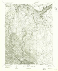
1954 · Mt. Waas 4 SW
USGS Topo · 1:24,000
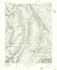
1954 · Mt. Waas 4 NE
USGS Topo · 1:24,000
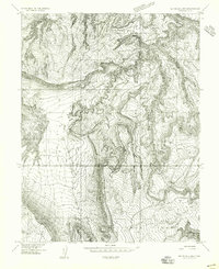
1954 · Mt. Waas 4 NW
USGS Topo · 1:24,000
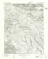
1954 · Mt Peale 1 NW
USGS Topo · 1:24,000
1954 · Mt. Waas 3 NE
USGS Topo · 1:24,000
1954 · Mt. Waas 3 SE
USGS Topo · 1:24,000
1954 · Mt Peale 2 NE
USGS Topo · 1:24,000