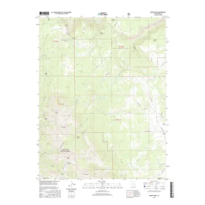
2017 Map of Mount Waas
USGS Topo · Published 2017About this map
The high-elevation peaks of the La Sal Mountains dominate this 2017 survey, revealing a landscape defined by significant topographic relief and alpine basins. Notable summits such as Mount Waas, Manns Peak, and Mt Tomasaki anchor the southern and central portions of the sheet, while the Manti-Lasal National Forest boundary encompasses most of the terrain. Remote landmarks like the Andy Swenson Gravesite on Andy Mesa provide a rare point of human interest in this largely undeveloped wilderness.
Find a feature on this map
44 named features on this map. Tap any name to fly to it.
Don’t see what you’re looking for? This feature index may not catch every label — zoom into the map to look around manually.
Map Details
Editions of this 2017 Mount Waas Map
This is the sole edition of this map. No revisions or reprints were ever made.
Other maps of this area
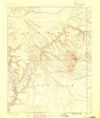
1885 · La Sal
USGS Topo · 1:250,000
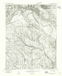
1954 · Mt Peale 1 NE
USGS Topo · 1:24,000
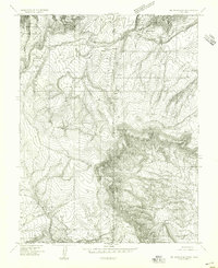
1954 · Mt. Waas 4 SE
USGS Topo · 1:24,000
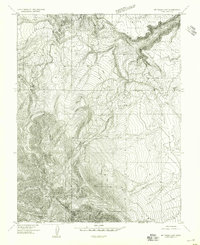
1954 · Mt. Waas 4 SW
USGS Topo · 1:24,000
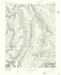
1954 · Mt. Waas 4 NE
USGS Topo · 1:24,000
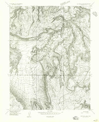
1954 · Mt. Waas 4 NW
USGS Topo · 1:24,000
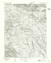
1954 · Mt Peale 1 NW
USGS Topo · 1:24,000
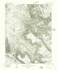
1954 · Mt. Waas 3 NE
USGS Topo · 1:24,000
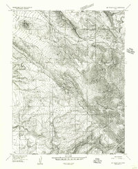
1954 · Mt. Waas 3 SE
USGS Topo · 1:24,000
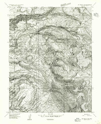
1954 · Mt Peale 2 NE
USGS Topo · 1:24,000