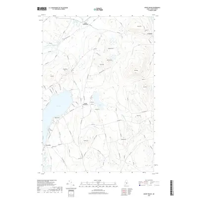
2018 Map of Mount Waldo
USGS Topo · Published 2018About this map
Swan Lake dominates the southwestern quadrant of this Waldo County landscape, serving as a focal point for recreation and local topography at Swan Lake State Park. To the north and east, the terrain is defined by significant elevations, notably Mt Waldo and Mt Ephraim, which rise above the surrounding valleys of Marsh Stream and Main Stream. Small settlements such as West Winterport, Frankfort, and North Searsport are scattered across the sheet, linked by a network of rural roads that navigate around features like Halfmoon Pond. For those researching local lineage, several family-named burial grounds are identified, including Wiswell Cem and Lowe Cem. The distribution of these cemeteries and the winding paths of Littlefield Brook and Meadow Brook reflect a longstanding rural pattern of settlement and land use common to mid-coast Maine.
Find a feature on this map
94 named features on this map. Tap any name to fly to it.
Don’t see what you’re looking for? This feature index may not catch every label — zoom into the map to look around manually.
Map Details
Editions of this 2018 Mount Waldo Map
This is the sole edition of this map. No revisions or reprints were ever made.
Other maps of this area

1900 · Bucksport
USGS Topo · 1:62,500

1902 · Bucksport
USGS Topo · 1:62,500

1902 · Castine
USGS Topo · 1:62,500

1904 · Castine
USGS Topo · 1:62,500

1905 · Penobscot Bay
USGS Topo · 1:125,000

1915 · Belfast
USGS Topo · 1:62,500

1917 · Belfast
USGS Topo · 1:62,500

1932 · Brooks
USGS Topo · 1:62,500

1941 · Belfast
USGS Topo · 1:62,500

1941 · Castine
USGS Topo · 1:62,500