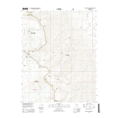
2015 Map of Mount Williamson
USGS Topo · Published 2015About this map
Mt Williamson dominates this high-altitude terrain along the boundary of Sequoia National Park and Inyo National Forest. The landscape is a high-Sierra wilderness of granite peaks and glacial basins, marked by the presence of the Pacific Crest National Scenic Trail as it winds through the western portion of the sheet. Notable high-altitude passes like Forester Pass and Shepherd Pass provide critical access points through the steep divides of the Sierra Nevada range. Deep basins such as the Williamson Bowl and Center Basin sit below looming summits like Mt Tyndall and Mt Barnard. The drainage network includes the headwaters of George Cr, Shepherd Cr, and Bubbs Cr, which carve through the steep eastern escarpment and western slopes respectively.
Find a feature on this map
45 named features on this map. Tap any name to fly to it.
Don’t see what you’re looking for? This feature index may not catch every label — zoom into the map to look around manually.
Map Details
Editions of this 2015 Mount Williamson Map
This is the sole edition of this map. No revisions or reprints were ever made.
Other maps of this area

1907 · Mt. Whitney
USGS Topo · 1:125,000

1919 · Mt. Whitney
USGS Topo · 1:125,000

1937 · Mt. Whitney
USGS Topo · 1:125,000

1948 · Fresno
USGS Topo · 1:250,000

1951 · Independence
USGS Topo · 1:62,500

1953 · Mt. Pinchot
USGS Topo · 1:62,500

1955 · Fresno
USGS Topo · 1:250,000

1956 · Fresno
USGS Topo · 1:250,000

1956 · Mount Whitney
USGS Topo · 1:62,500

1958 · Fresno
USGS Topo · 1:250,000