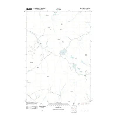
2011 Map of Mount Zircon
USGS Topo · Published 2011About this map
Mollyockett Mountain and the surrounding peaks of Oxford County dominate this high-relief landscape, where small settlements like East Milton and Redding are connected by a network of winding valley roads. The drainage patterns of the West Branch Nezinscot River and the Concord River dictate the placement of local infrastructure, including the Mount Zircon Reservoir Dam at the northern edge of the map. For those tracing local families, Greenleaf Cemetery serves as a key genealogical landmark near the junction of Milton Rd and Cushman Rd. The presence of numerous named water bodies, such as Shagg Pond and Washburn Pond, highlights the region's reliance on its interior hydrology for both early settlement and modern reservoir management. This map illustrates the intersection of rural Maine life and the significant topographical challenges posed by the mountains.
Find a feature on this map
54 named features on this map. Tap any name to fly to it.
Don’t see what you’re looking for? This feature index may not catch every label — zoom into the map to look around manually.
Map Details
Editions of this 2011 Mount Zircon Map
This is the sole edition of this map. No revisions or reprints were ever made.
Other maps of this area

1911 · Bryant Pond
USGS Topo · 1:62,500

1911 · Buckfield
USGS Topo · 1:62,500

1913 · Buckfield
USGS Topo · 1:62,500

1914 · Bryant Pond
USGS Topo · 1:62,500

1926 · Dixfield
USGS Topo · 1:62,500

1927 · Rumford
USGS Topo · 1:48,000

1929 · Dixfield
USGS Topo · 1:62,500

1930 · Rumford
USGS Topo · 1:62,500

1942 · Buckfield
USGS Topo · 1:62,500

1942 · Bryant Pond
USGS Topo · 1:62,500