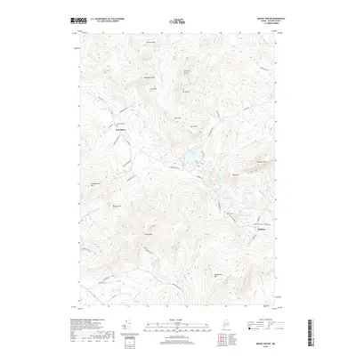
2018 Map of Mount Zircon
USGS Topo · Published 2018About this map
East Milton and the smaller settlement of Redding anchor this part of Oxford County, a landscape defined by prominent peaks and vital water sources. The namesake Mt Zircon rises centrally, its slopes drained by Zircon Brook toward the Mount Zircon Reservoir. Local genealogy is well-preserved through family-named burial sites including Greenleaf Cem and Robbins Cem, while the rugged southern terrain is marked by Mollyockett Mtn. A cluster of water bodies to the east, including Concord Pond, Shagg Pond, and Halfmoon Pond, provided critical resources for the early valley inhabitants. The road network, including Milton Rd and Redding Rd, follows the natural contours carved by the W Br Nezinscot River and Concord River, reflecting a pattern of settlement and movement dictated by the high-elevation topography of the western Maine mountains.
Find a feature on this map
57 named features on this map. Tap any name to fly to it.
Don’t see what you’re looking for? This feature index may not catch every label — zoom into the map to look around manually.
Map Details
Editions of this 2018 Mount Zircon Map
This is the sole edition of this map. No revisions or reprints were ever made.
Other maps of this area

1911 · Bryant Pond
USGS Topo · 1:62,500

1911 · Buckfield
USGS Topo · 1:62,500

1913 · Buckfield
USGS Topo · 1:62,500

1914 · Bryant Pond
USGS Topo · 1:62,500

1926 · Dixfield
USGS Topo · 1:62,500

1927 · Rumford
USGS Topo · 1:48,000

1929 · Dixfield
USGS Topo · 1:62,500

1930 · Rumford
USGS Topo · 1:62,500

1942 · Buckfield
USGS Topo · 1:62,500

1942 · Bryant Pond
USGS Topo · 1:62,500