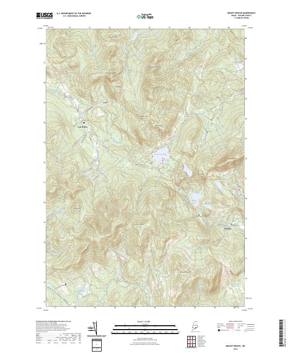
2024 Map of Mount Zircon
USGS Topo · Published 2024About this map
East Milton and Redding anchor this part of Oxford County, a landscape defined by significant peaks and essential water sources. The area around Mt Zircon is particularly notable for the Mount Zircon Reservoir and the Mount Zircon Spring, reflecting the historical importance of these heights for local water management and natural resources. The drainage network is complex, with the Concord River and the West Branch Nezinscot River carving through the terrain.
Find a feature on this map
59 named features on this map. Tap any name to fly to it.
Don’t see what you’re looking for? This feature index may not catch every label — zoom into the map to look around manually.
Map Details
Editions of this 2024 Mount Zircon Map
This is the sole edition of this map. No revisions or reprints were ever made.
Other maps of this area

1911 · Bryant Pond
USGS Topo · 1:62,500

1911 · Buckfield
USGS Topo · 1:62,500

1913 · Buckfield
USGS Topo · 1:62,500

1914 · Bryant Pond
USGS Topo · 1:62,500

1926 · Dixfield
USGS Topo · 1:62,500

1927 · Rumford
USGS Topo · 1:48,000

1929 · Dixfield
USGS Topo · 1:62,500

1930 · Rumford
USGS Topo · 1:62,500

1942 · Buckfield
USGS Topo · 1:62,500

1942 · Bryant Pond
USGS Topo · 1:62,500