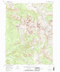
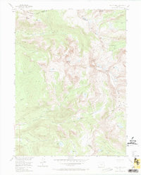
1955 Map of Mount Zirkel
USGS Topo · Published 1984About this map
Slavonia sits as a lonely human outpost in the high Colorado wilderness where the North Fork Elk River meets the mountains. This mid-century survey captures a landscape dominated by the high crest of the Continental Divide, which separates Jackson and Routt Counties. The terrain is defined by the high peaks of the Sawtooth Range and the Front Range, including the prominent Mount Zirkel and Big Agnes Mountain.
Find a feature on this map
49 named features on this map. Tap any name to fly to it.
Don’t see what you’re looking for? This feature index may not catch every label — zoom into the map to look around manually.
Map Details
Editions of this 1955 Mount Zirkel Map
6 editions found
Other maps of this area

1911 · Hahns Peak
USGS Topo · 1:125,000

1913 · Hahns Peak
USGS Topo · 1:125,000

1954 · Craig
USGS Topo · 1:250,000

1955 · Davis Peak
USGS Topo · 1:24,000

1955 · Mount Zirkel
USGS Topo · 1:24,000

1955 · Pitchpine Mountain
USGS Topo · 1:24,000

1955 · Mount Ethel
USGS Topo · 1:24,000

1955 · Pearl
USGS Topo · 1:24,000

1955 · Mount Ethel
USGS Topo · 1:62,500
1956 · Boettcher Lake
USGS Topo · 1:24,000