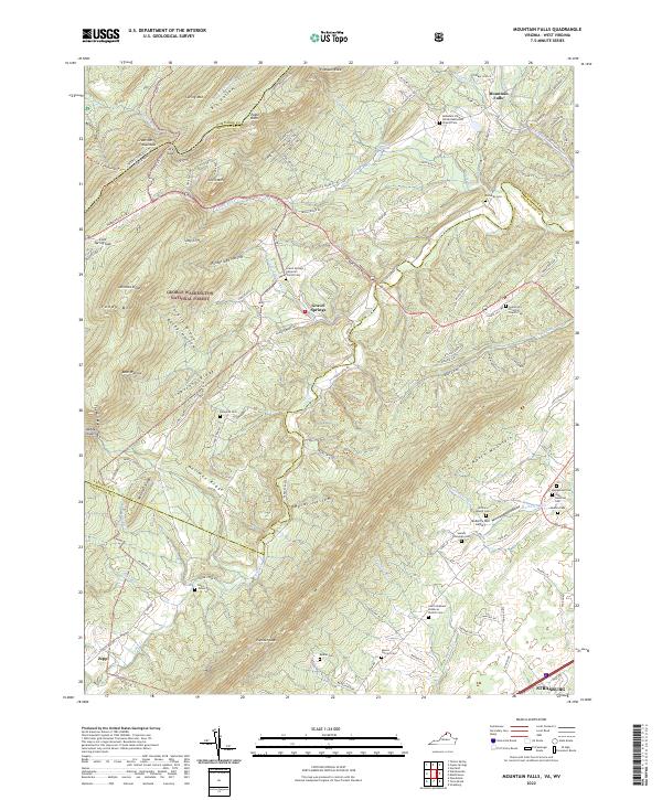
2022 Map of Mountain Falls
USGS Topo · Published 2022About this map
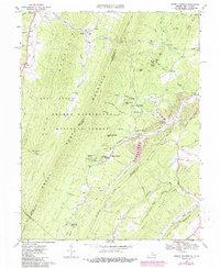
George Washington National Forest dominates this section of the Virginia and West Virginia border, where the ridgelines of Great North Mountain and Little North Mountain define the local topography. The landscape is marked by small settlements such as Mountain Falls and Gravel Springs, which are connected by historic routes like the Wardensville Pike. A high concentration of family-named cemeteries and rural churches, including the Mountain View United Methodist Church Cem and Saint Stephens Lutheran Church Cem, suggests a long-established community structure deeply rooted in the valleys.
Find a feature on this map
130 named features on this map. Tap any name to fly to it.
Don’t see what you’re looking for? This feature index may not catch every label — zoom into the map to look around manually.
Map Details
Editions of this 2022 Mountain Falls Map
This is the sole edition of this map. No revisions or reprints were ever made.
Historical Maps of Zepp Through Time
12 maps found
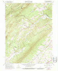
1965 Mountain Falls
Shenandoah County, VA
1966 Conicville
Shenandoah County, VA
1966 Rileyville
Shenandoah County, VA
1967 Orkney Springs
Shenandoah County, VA
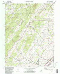
1994 Conicville
Shenandoah County, VA
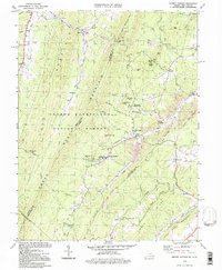
1994 Orkney Springs
Shenandoah County, VA
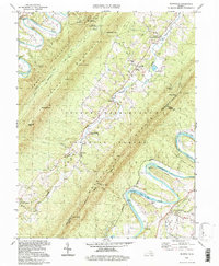
1994 Rileyville
Shenandoah County, VA
1999 Mountain Falls
Shenandoah County, VA
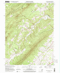
2022 Conicville
Shenandoah County, VA
2022 Mountain Falls
Shenandoah County, VA
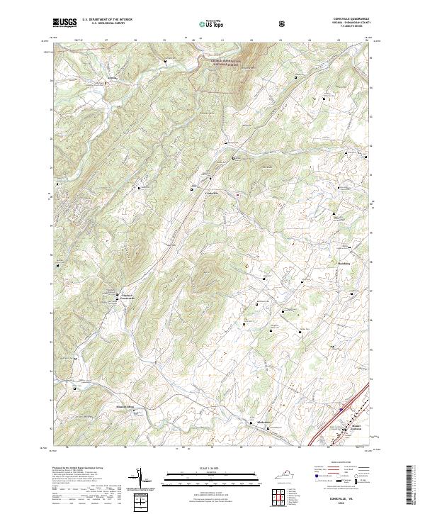
2022 Orkney Springs
Shenandoah County, VA
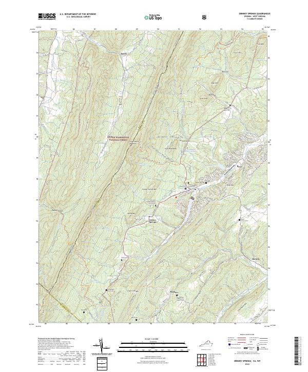
2022 Rileyville
Shenandoah County, VA