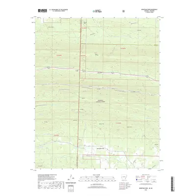
2020 Map of Mountain Fork
USGS Topo · Published 2020About this map
The Oklahoma-Arkansas state line bisects this rugged corridor of the Ouachita National Forest, where the high ridges of Black Fork Mtn and Rich Mtn dominate the horizon. In the northern sections, the settlement of Fogel and the community of Howard sit along the drainage of Big Creek, while the southern reaches follow the winding path of the Mountain Fork river. This 2020 survey documents the modern layout of the Ouachita National Recreation Trail as it traverses the crests, providing a detailed view of the natural hydrology including the Kiamichi River and Horsepen Creek. Local history is preserved at high elevations near the state line at Heely Cem and Pioneer Cem, while the winding Skyline Drive offers access to these remote peaks. The map provides a clear record of the interface between protected forest lands and small mountain communities like Mountain Fork.
Find a feature on this map
55 named features on this map. Tap any name to fly to it.
Don’t see what you’re looking for? This feature index may not catch every label — zoom into the map to look around manually.
Map Details
Editions of this 2020 Mountain Fork Map
This is the sole edition of this map. No revisions or reprints were ever made.
Other maps of this area

1887 · Poteau Mountain #2
USGS Topo · 1:62,500

1890 · Poteau Mountain
USGS Topo · 1:125,000

1899 · Poteau Mountain
USGS Topo · 1:125,000

1900 · Winding Stair
USGS Topo · 1:125,000

1909 · Winding Stair
USGS Topo · 1:125,000

1950 · Mcalester
USGS Topo · 1:250,000
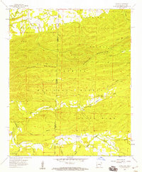
1958 · Loving
USGS Topo · 1:24,000
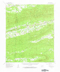
1958 · Bates
USGS Topo · 1:62,500

1958 · Potter
USGS Topo · 1:62,500

1958 · Zafra
USGS Topo · 1:24,000