
1958 Map of Zafra
USGS Topo · Published 1959About this map
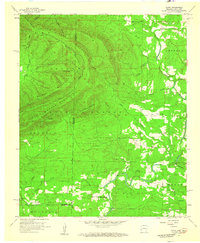
Zafra occupies a small clearing along the Arkansas-Oklahoma state line, serving as a primary settlement point in this late 1950s survey of the Ouachita National Forest. The landscape is dominated by high ridges and peaks, including Polecat Peak and Walnut Mountain, which channel numerous tributaries like Turkey Snout Creek and Beech Creek toward the Little River. This map captures a specific moment in rural development where local infrastructure is centered around community institutions such as the Zafra Sch and Alder Springs Ch. The winding Line Road traces the literal border between the two states, highlighting the geographic isolation and the reliance on local landmarks like Stinett Cem and Gann Cem for social and family organization. The presence of Camp Pioneer near the southern forks of the river suggests the area's role in early organized recreation within the national forest system.
Find a feature on this map
47 named features on this map. Tap any name to fly to it.
Don’t see what you’re looking for? This feature index may not catch every label — zoom into the map to look around manually.
Map Details
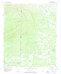
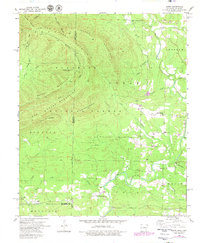
Editions of this 1958 Zafra Map
4 editions found
Other maps of this area

1890 · Poteau Mountain
USGS Topo · 1:125,000

1899 · Poteau Mountain
USGS Topo · 1:125,000

1900 · Winding Stair
USGS Topo · 1:125,000

1902 · Lukfata
USGS Topo · 1:125,000

1909 · Winding Stair
USGS Topo · 1:125,000

1913 · De Queen
USGS Topo · 1:125,000

1950 · Mcalester
USGS Topo · 1:250,000

1958 · Potter
USGS Topo · 1:62,500

1958 · Rich Mountain
USGS Topo · 1:24,000
1958 · Potter
USGS Topo · 1:24,000