
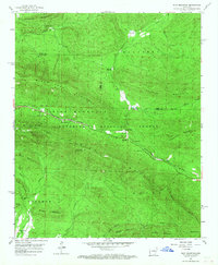
1958 Map of Rich Mountain
USGS Topo · Published 1959About this map
Ouachita National Forest dominates this mid-century landscape, defined by the prominent ridge of Rich Mountain. The mountain's crest is home to the Rich Mountain Lookout Tower and provides the path for Skyline Drive, which winds through Wilhelmina State Park. In the valley below, the Kansas City Southern railroad follows the contours of the terrain, passing through the small communities of Rich Mountain and Eagleton.
Find a feature on this map
40 named features on this map. Tap any name to fly to it.
Don’t see what you’re looking for? This feature index may not catch every label — zoom into the map to look around manually.
Map Details
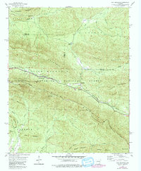
Editions of this 1958 Rich Mountain Map
3 editions found
Other maps of this area

1879 · Poteau Mountain
USGS Topo · 1:62,500

1887 · Poteau Mountain #1
USGS Topo · 1:62,500

1887 · Poteau Mountain #2
USGS Topo · 1:62,500

1890 · Poteau Mountain
USGS Topo · 1:125,000

1899 · Poteau Mountain
USGS Topo · 1:125,000

1939 · Waldron
USGS Topo · 1:62,500

1940 · Waldron
USGS Topo · 1:62,500

1941 · Waldron
USGS Topo · 1:62,500

1949 · Waldron
USGS Topo · 1:62,500

1950 · Mcalester
USGS Topo · 1:250,000