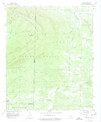
1958 Map of Zafra
USGS Topo · Published 1975About this map
Zafra lies at the southwestern edge of this 1958 survey, where the valley of Little Cow Creek meets the base of Mountain Fork. The landscape is dominated by the dense reaches of the Ouachita National Forest, a terrain of high ridges and narrow creek bottoms. The map documents the early infrastructure of this border region between Arkansas and Oklahoma, capturing the rural community life centered around the Zafra School and local places of worship like Alder Springs Church and West Valley Church.
Find a feature on this map
39 named features on this map. Tap any name to fly to it.
Don’t see what you’re looking for? This feature index may not catch every label — zoom into the map to look around manually.
Map Details
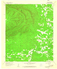
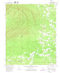
Editions of this 1958 Zafra Map
4 editions found
Other maps of this area

1890 · Poteau Mountain
USGS Topo · 1:125,000

1899 · Poteau Mountain
USGS Topo · 1:125,000

1900 · Winding Stair
USGS Topo · 1:125,000

1902 · Lukfata
USGS Topo · 1:125,000

1909 · Winding Stair
USGS Topo · 1:125,000

1913 · De Queen
USGS Topo · 1:125,000

1950 · Mcalester
USGS Topo · 1:250,000

1958 · Potter
USGS Topo · 1:62,500

1958 · Zafra
USGS Topo · 1:24,000

1958 · Rich Mountain
USGS Topo · 1:24,000