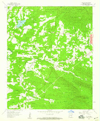
1958 Map of Potter
USGS Topo · Published 1959About this map
The Kansas City Southern railroad serves as the primary industrial artery through this section of Polk County, connecting the western edges of Mena with the smaller settlements of Potter and Potter Junction. The landscape is defined by the sharp transition from the level rail corridor to the surrounding peaks of the Ouachita National Forest, including Potter Mountain and Dallas Mountain. Local life in the late 1950s centered around numerous rural congregations and burial grounds, such as Bethel Ch, Gann Chapel, and the Mt Gillian Cem. Near the northern border, Lake Wilhelmina is a prominent feature with its Spillway 996, while a Quarry and Gravel Pit indicate the extractive activity occurring alongside the forested ridges. The map meticulously records family-named landmarks and small-scale infrastructure, from the County Fairground to the scattered cemeteries that anchor the local genealogy of the region.
Find a feature on this map
45 named features on this map. Tap any name to fly to it.
Don’t see what you’re looking for? This feature index may not catch every label — zoom into the map to look around manually.
Map Details
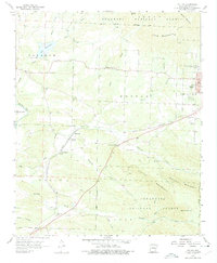
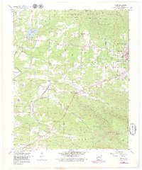
Editions of this 1958 Potter Map
3 editions found
Other maps of this area

1890 · Poteau Mountain
USGS Topo · 1:125,000

1899 · Poteau Mountain
USGS Topo · 1:125,000

1913 · De Queen
USGS Topo · 1:125,000

1950 · Mcalester
USGS Topo · 1:250,000

1958 · Mena
USGS Topo · 1:62,500

1958 · Potter
USGS Topo · 1:62,500

1958 · Zafra
USGS Topo · 1:24,000

1958 · Mena
USGS Topo · 1:24,000

1958 · Rich Mountain
USGS Topo · 1:24,000
1958 · Acorn
USGS Topo · 1:24,000