
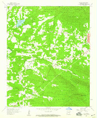
1958 Map of Mena
USGS Topo · Published 1959About this map
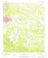
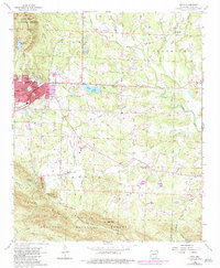
The Kansas City Southern railway anchors the development of Mena in the late 1950s, serving as a vital corridor through the foothills of the Ouachita National Forest. This survey captures the town's social infrastructure, from the Stilwell Sch and St Joseph Sch to the Drive-in Theater and Janssen Park downtown. Outside the main settlement, the landscape transitions into the rural communities of Nunley and Dallas, where life centered around landmarks like Dallas Cem and Corinth Ch.
Find a feature on this map
50 named features on this map. Tap any name to fly to it.
Don’t see what you’re looking for? This feature index may not catch every label — zoom into the map to look around manually.
Map Details
Editions of this 1958 Mena Map
3 editions found
Other maps of this area

1890 · Poteau Mountain
USGS Topo · 1:125,000

1899 · Poteau Mountain
USGS Topo · 1:125,000

1913 · De Queen
USGS Topo · 1:125,000

1950 · Mcalester
USGS Topo · 1:250,000
1958 · Board Camp
USGS Topo · 1:24,000

1958 · Mena
USGS Topo · 1:62,500

1958 · Potter
USGS Topo · 1:62,500
1958 · Y City
USGS Topo · 1:24,000

1958 · Rich Mountain
USGS Topo · 1:24,000
1958 · Potter
USGS Topo · 1:24,000