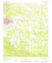
1958 Map of Mena
USGS Topo · Published 1975About this map
The mountain town of Mena serves as a hub of industry and transport in the late 1950s, defined by its position along the Kansas City Southern railroad and at the foot of Dallas Mountain. This survey reveals the community's mid-century expansion, with schools like Stilwell Sch and Jr High Sch serving the local population, and the Mena Municipal Landing Field providing an early aviation link. To the east, rural life centers on small crossroads and water sources, including the settlement of Nunley and the waters of Mena Lake.
Find a feature on this map
47 named features on this map. Tap any name to fly to it.
Don’t see what you’re looking for? This feature index may not catch every label — zoom into the map to look around manually.
Map Details
Editions of this 1958 Mena Map
3 editions found
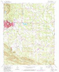
Other maps of this area

1890 · Poteau Mountain
USGS Topo · 1:125,000

1899 · Poteau Mountain
USGS Topo · 1:125,000

1913 · De Queen
USGS Topo · 1:125,000

1950 · Mcalester
USGS Topo · 1:250,000
1958 · Board Camp
USGS Topo · 1:24,000

1958 · Mena
USGS Topo · 1:62,500

1958 · Potter
USGS Topo · 1:62,500

1958 · Mena
USGS Topo · 1:24,000
1958 · Y City
USGS Topo · 1:24,000

1958 · Rich Mountain
USGS Topo · 1:24,000