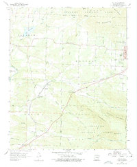
1958 Map of Potter
USGS Topo · Published 1975About this map
The Kansas City Southern railroad cuts a diagonal path through this 1950s rural landscape, connecting the settlement of Potter and its nearby Potter Junction to the edge of Mena. The region is defined by its transition from the valley floor to the prominent Potter Mountain and Blowout Mountain, both contained within the Ouachita National Forest. Several small country congregations and their associated burial grounds, such as Gann Chapel, Bethel Ch, and the Mt Gillian Cem, reveal the dispersed nature of the community's social and religious life at mid-century.
Find a feature on this map
45 named features on this map. Tap any name to fly to it.
Don’t see what you’re looking for? This feature index may not catch every label — zoom into the map to look around manually.
Map Details
Editions of this 1958 Potter Map
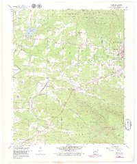
3 editions found
Other maps of this area

1890 · Poteau Mountain
USGS Topo · 1:125,000

1899 · Poteau Mountain
USGS Topo · 1:125,000

1913 · De Queen
USGS Topo · 1:125,000

1950 · Mcalester
USGS Topo · 1:250,000

1958 · Mena
USGS Topo · 1:62,500

1958 · Potter
USGS Topo · 1:62,500

1958 · Zafra
USGS Topo · 1:24,000

1958 · Mena
USGS Topo · 1:24,000

1958 · Rich Mountain
USGS Topo · 1:24,000
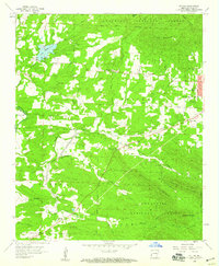
1958 · Potter
USGS Topo · 1:24,000