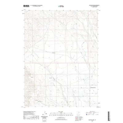
2020 Map of Mountain Home
USGS Topo · Published 2020About this map
Mountain Home serves as the primary settlement hub on this Duchesne County landscape, situated where the high desert terrain begins its descent toward the river valleys. The topography is defined by significant landmarks such as Bald Knoll and the Twin Knolls, while local drainages like Draper Hollow and Big Hollow carve through the plateau. This 2020 map documents an intricate network of water management, essential for the arid environment of Towanta Flat.
Find a feature on this map
15 named features on this map. Tap any name to fly to it.
Don’t see what you’re looking for? This feature index may not catch every label — zoom into the map to look around manually.
Map Details
Editions of this 2020 Mountain Home Map
This is the sole edition of this map. No revisions or reprints were ever made.
Other maps of this area

1885 · Uinta
USGS Topo · 1:250,000

1901 · Hayden Peak
USGS Topo · 1:125,000

1903 · Hayden Peak
USGS Topo · 1:125,000

1905 · Gilbert Peak
USGS Topo · 1:125,000

1906 · Gilbert Peak
USGS Topo · 1:125,000

1939 · Duchesne
USGS Topo · 1:125,000

1954 · Salt Lake City
USGS Topo · 1:250,000

1958 · Salt Lake City
USGS Topo · 1:250,000

1960 · Salt Lake City
USGS Topo · 1:250,000

1962 · Blacktail Mtn
USGS Topo · 1:24,000