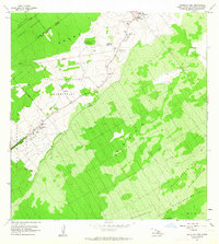
1963 Map of Mountain View
USGS Topo · Published 1964About this map
Agricultural camps and residential settlements line the arterial corridor between Mountain View and Keaau in this mid-century survey of the Puna District. The landscape is defined by the transition from the dense Waikea Forest Reserve to organized cultivation and homesteading. Evidence of the region’s sugar plantation heritage is visible through features like the flume and a series of numbered camps, including Ninemile Camp, Nine and Onehalf Mile Camp, and Iwasaki Camp.
Find a feature on this map
32 named features on this map. Tap any name to fly to it.
Don’t see what you’re looking for? This feature index may not catch every label — zoom into the map to look around manually.
Map Details
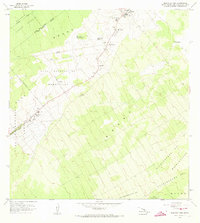
Editions of this 1963 Mountain View Map
2 editions found
Other maps of this area

1917 · Hilo
USGS Topo · 1:62,500

1922 · Puna
USGS Topo · 1:62,500

1924 · Makuu
USGS Topo · 1:62,500

1924 · Puna
USGS Topo · 1:62,500

1924 · Kalapana
USGS Topo · 1:62,500

1932 · Hilo
USGS Topo · 1:62,500

1954 · Hawaii South
USGS Topo · 1:250,000

1954 · Hawaii North
USGS Topo · 1:250,000

1959 · Hawaii South
USGS Topo · 1:250,000

1959 · Hawaii North
USGS Topo · 1:250,000