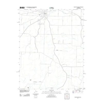
1986 Map of Mountain View
USGS Topo · Published 1986About this map
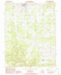
Mountain View serves as the primary hub of this 1980s landscape, positioned near the Mountain View Airport and the community of Jam. The map documents a transition in local infrastructure, notably recording the Old Railroad Grade north of Teresita, reflecting the area's historical reliance on rail transport. Rural life is anchored by several community landmarks, including Gravel Ridge Ch, Chapel Hill Ch, and Forest Dell Ch, while Liberty High Sch sits on the eastern edge of the survey area.
Find a feature on this map
28 named features on this map. Tap any name to fly to it.
Don’t see what you’re looking for? This feature index may not catch every label — zoom into the map to look around manually.
Map Details
Editions of this 1986 Mountain View Map
This is the sole edition of this map. No revisions or reprints were ever made.
Historical Maps of Mountain View Through Time
5 maps found